
Flat renders cover the same Portland bounds: 45.43–45.63° N, 122.81–122.57° W. They use Mapsource’s static renderer and MapLibre for the vector Light and Dark presets. Shaded views combine the flat renders with Mapsource terrain tiles.
Images are downloadable PNGs. The 256 × 256 examples below are native raster tiles, suitable as visual examples for a tile provider listing.
Rendered raster
The two tile styles
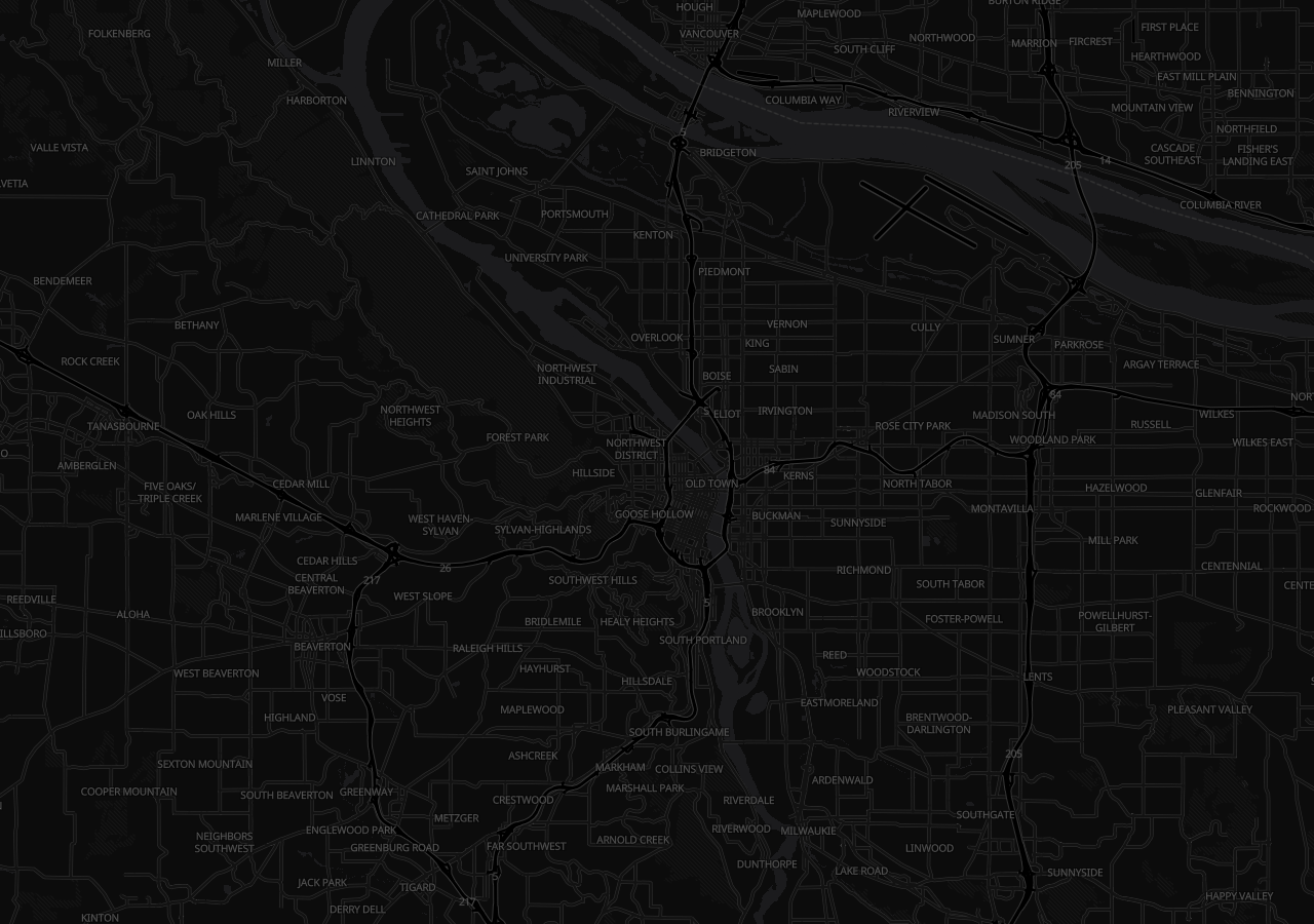
Dark Matter
CARTO raster · dark
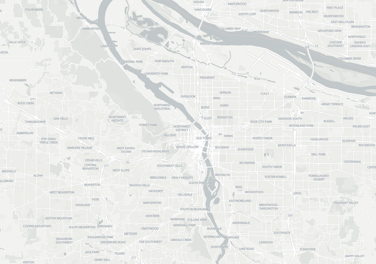
Positron
CARTO raster · light
Styled vector
Six ways to read the same city
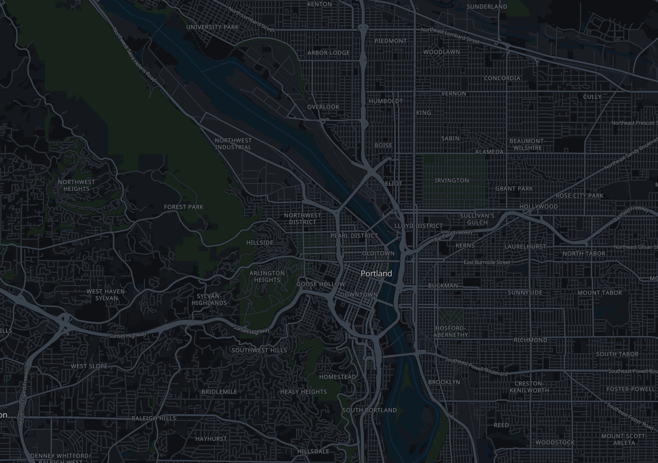
Mapsource Dark
Vector preset · dark neutral
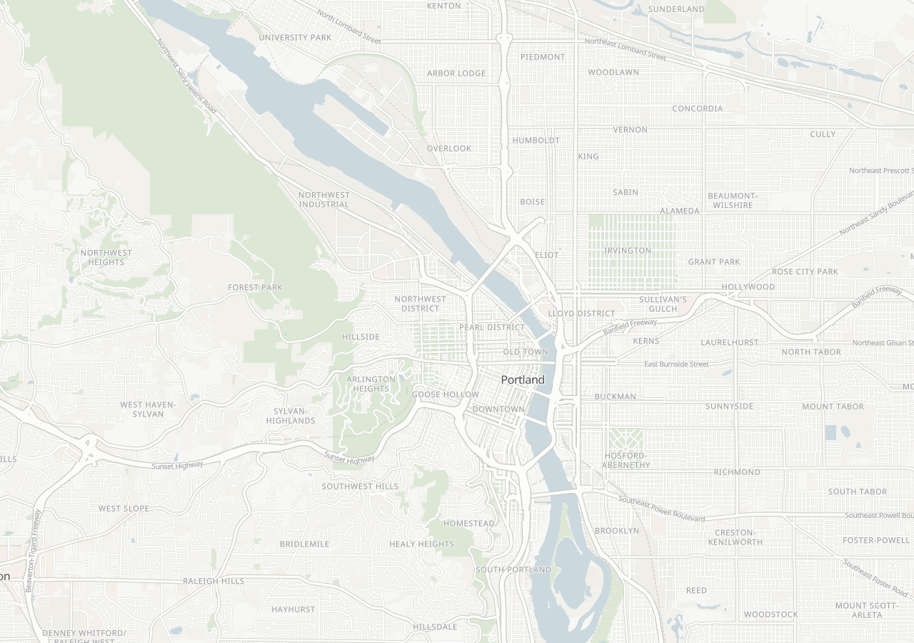
Mapsource Light
Vector preset · light neutral
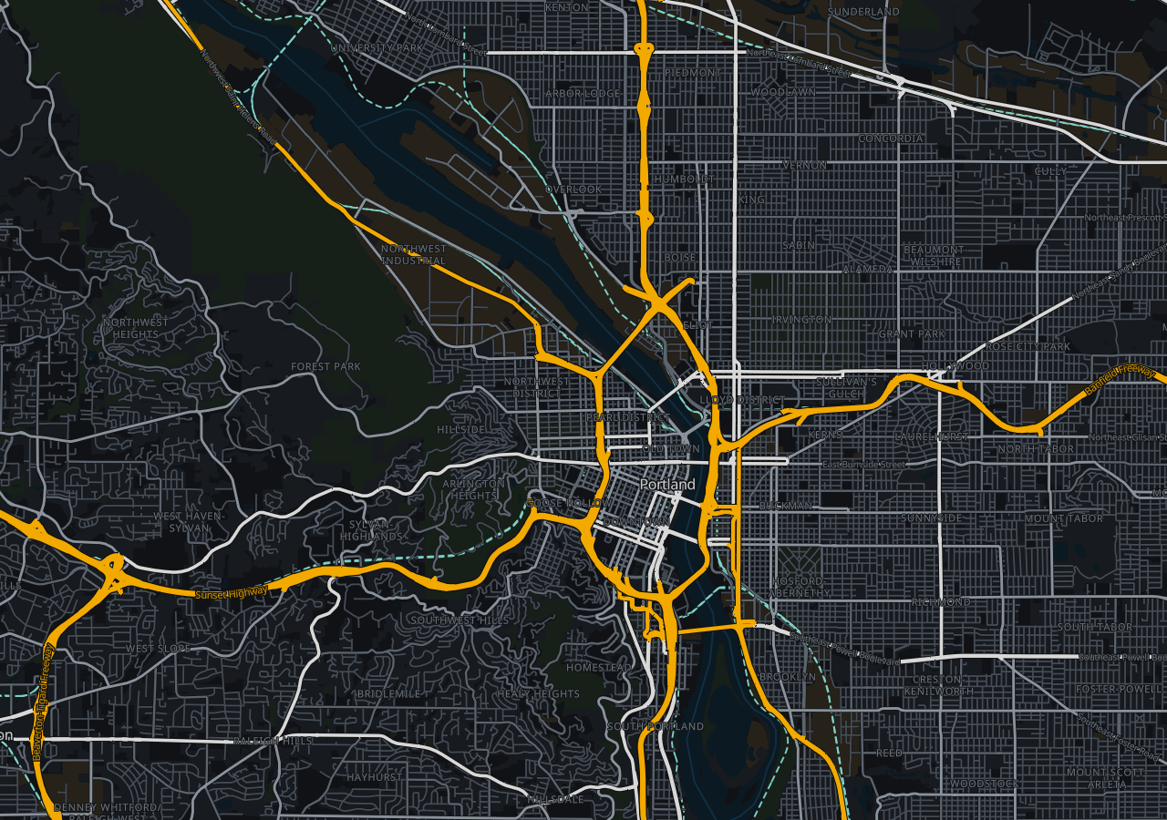
Operations
Vector preset · high contrast
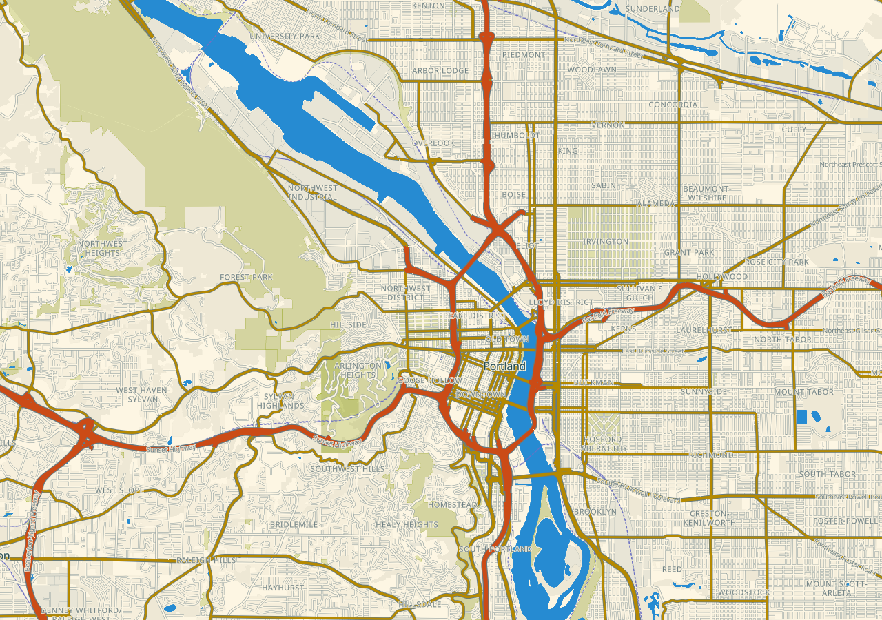
Solarized Light
Vector preset · warm light
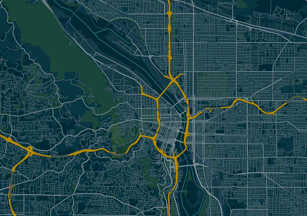
Solarized Dark
Vector preset · blue green
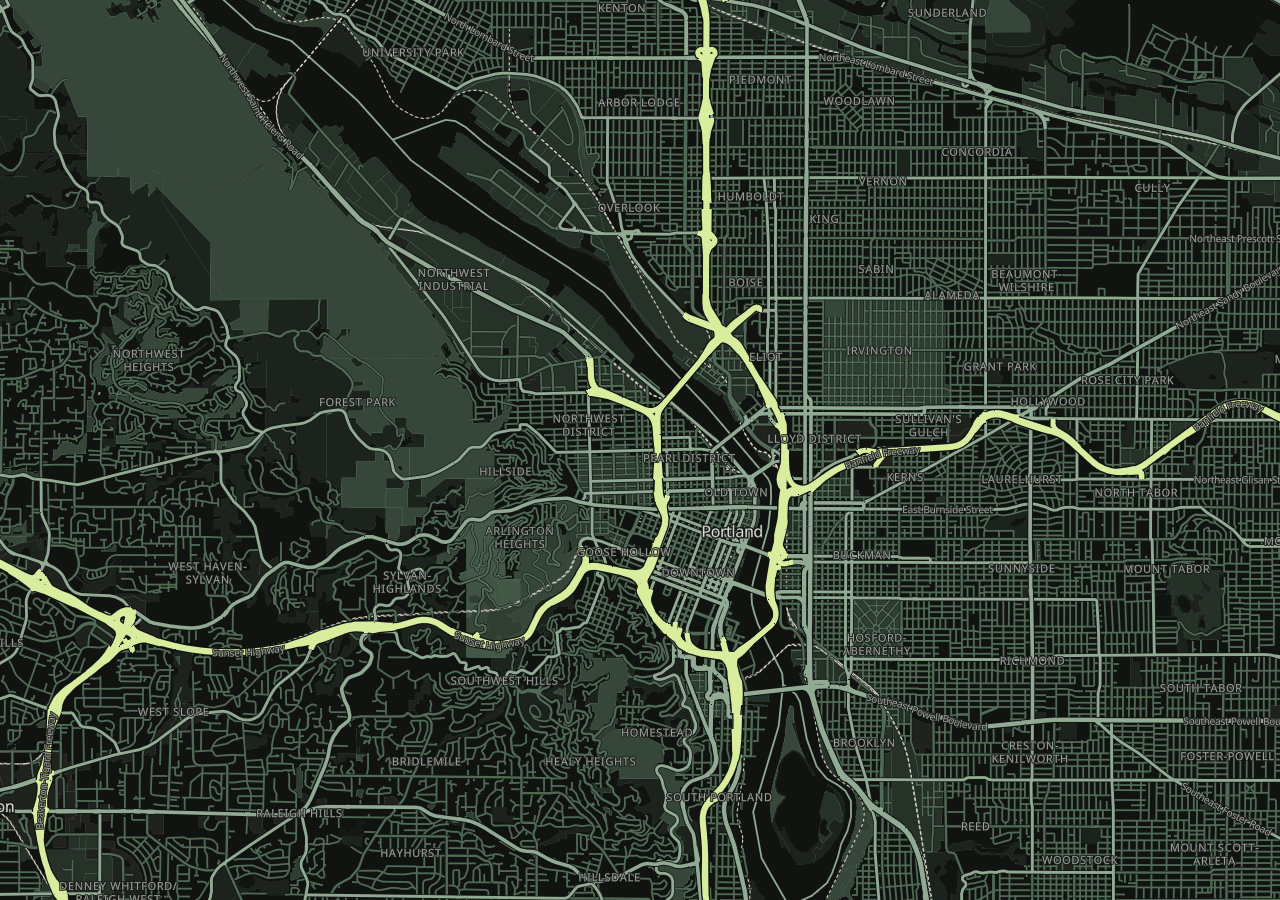
Mapsource
Vector preset · house palette
Every vector preset and saved style can also be delivered as a 256 × 256 PNG tile: /api/tiles/styles/{style}/{z}/{x}/{y}.png. Use a Bearer API key; add ?revision=N for a saved profile revision. See the tile API guide.
Terrain shaded
The West Hills in relief
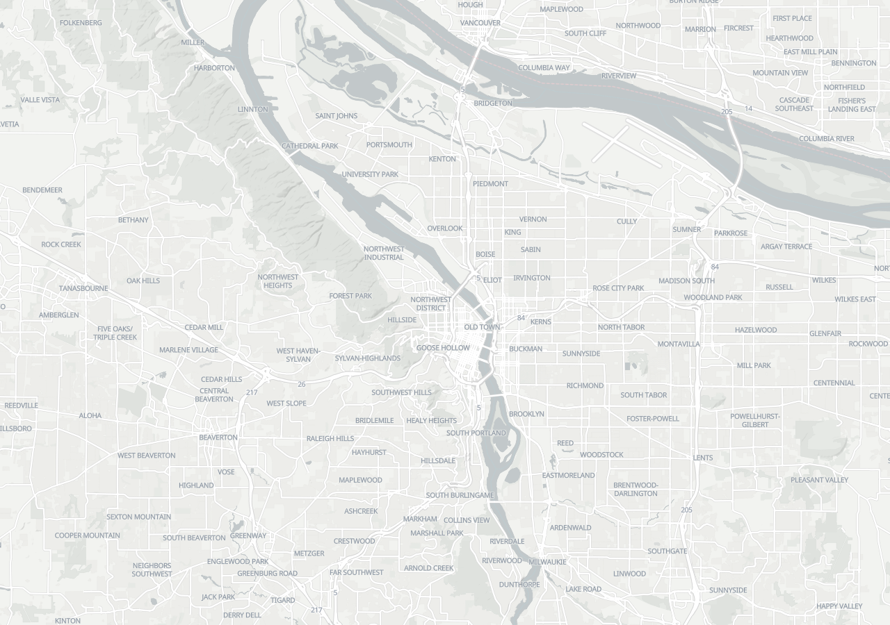
Positron
CARTO raster · light
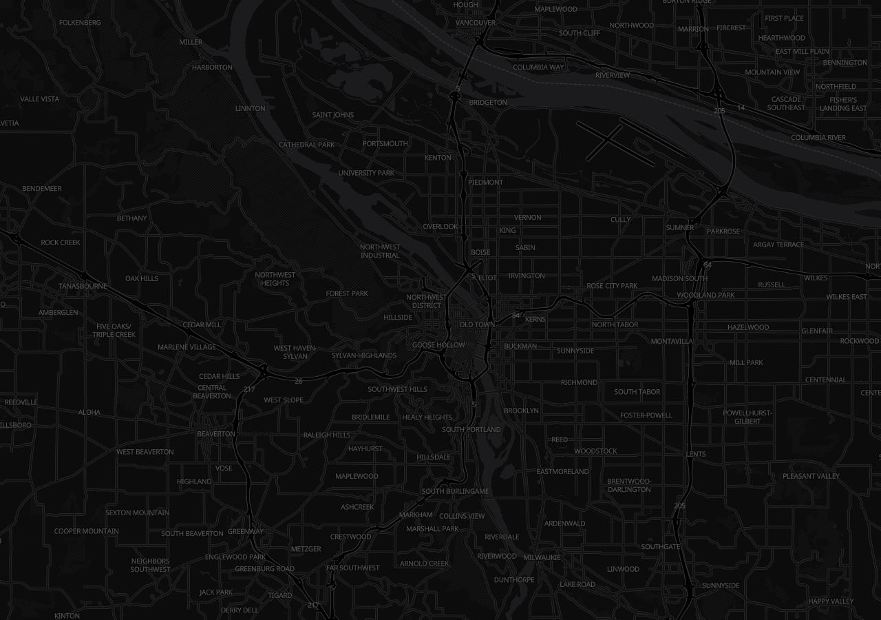
Dark Matter
CARTO raster · dark
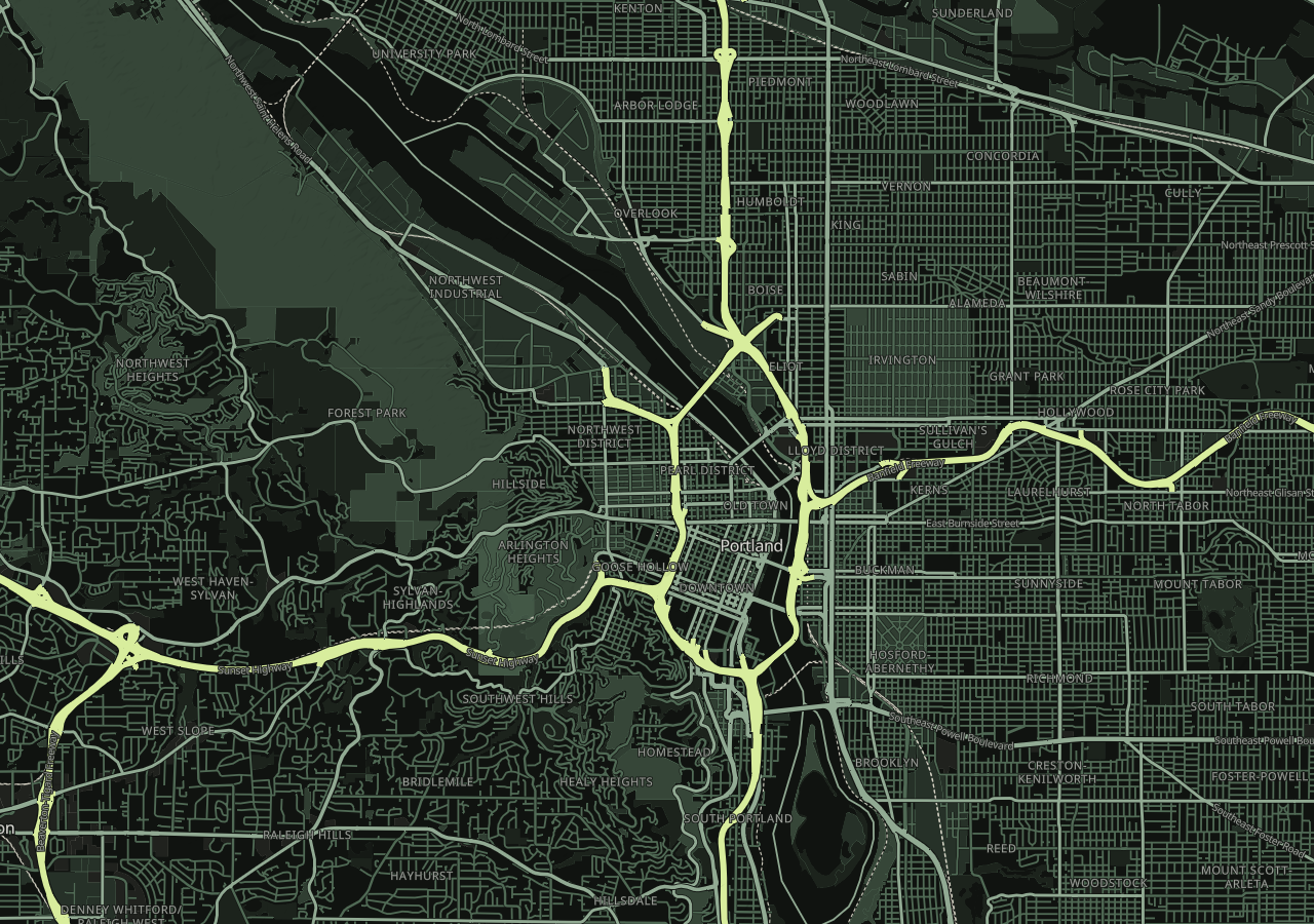
Mapsource
Vector preset · house palette
These are north-up hillshaded images. Shading expresses terrain shape; it is not an elevation measurement or an oblique 3D camera view.
3D terrain
A view above the river
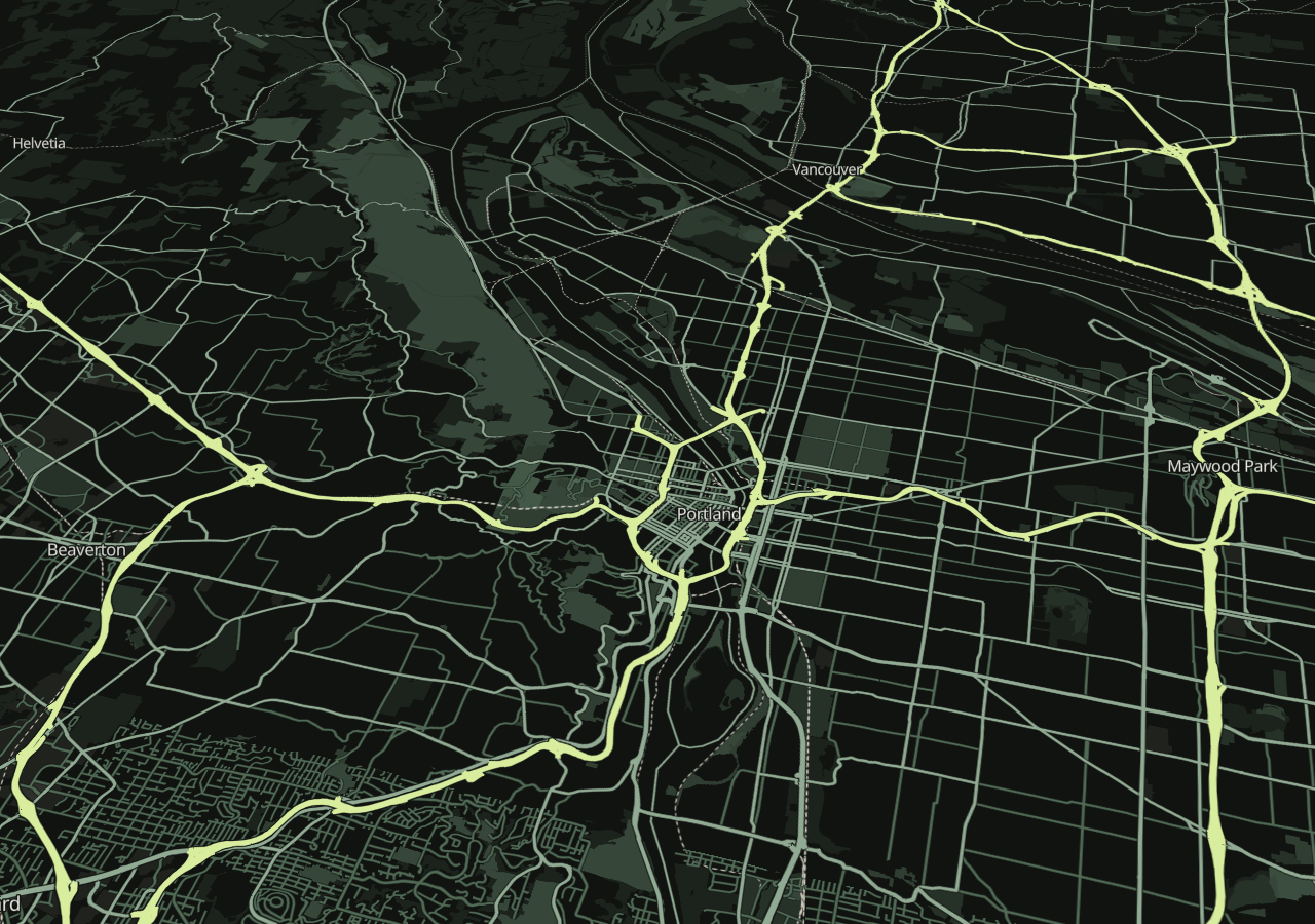
Mapsource in 3D
Vector style · oblique terrain
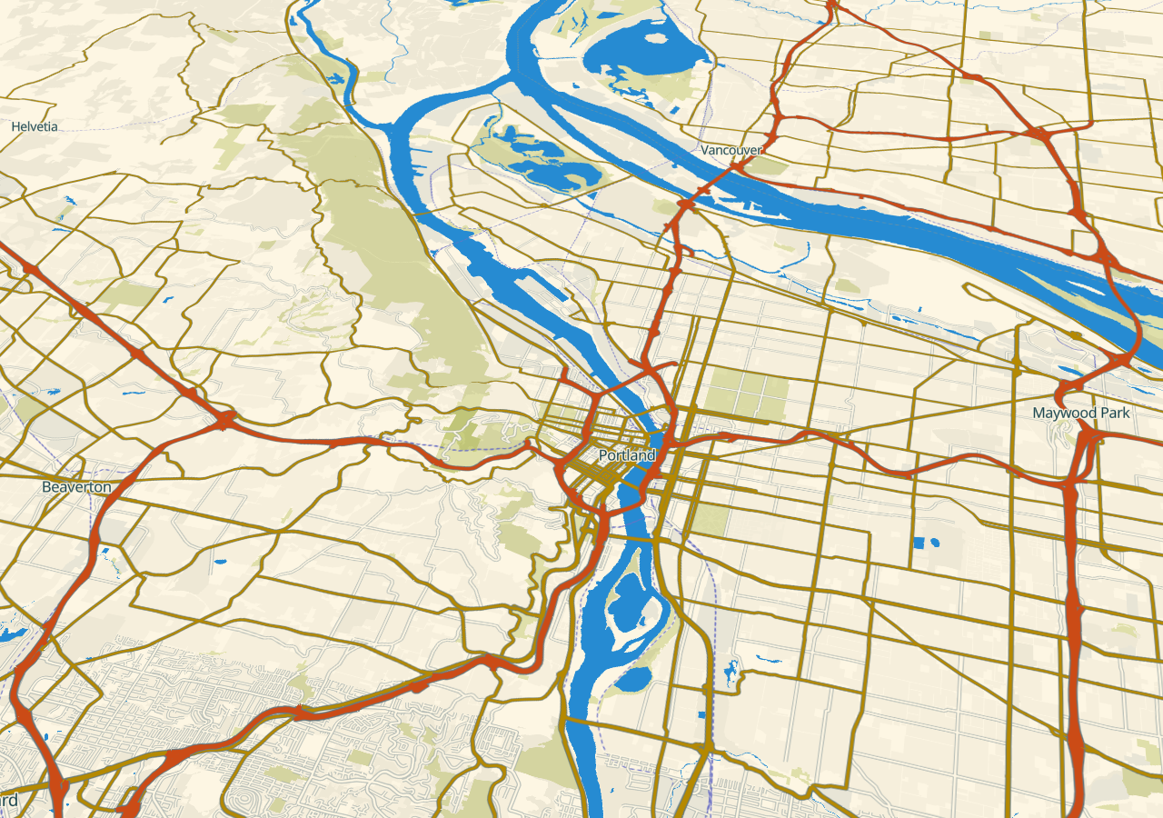
Solarized Light in 3D
Vector style · oblique terrain
These views use MapLibre terrain with the published Terrarium elevation tiles, a 48° camera pitch, and 1.6× terrain exaggeration.
Readable city detail
Portland at 512 × 512
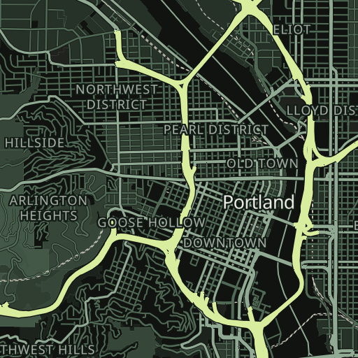
Flat map
Large labels · 512 × 512 PNG
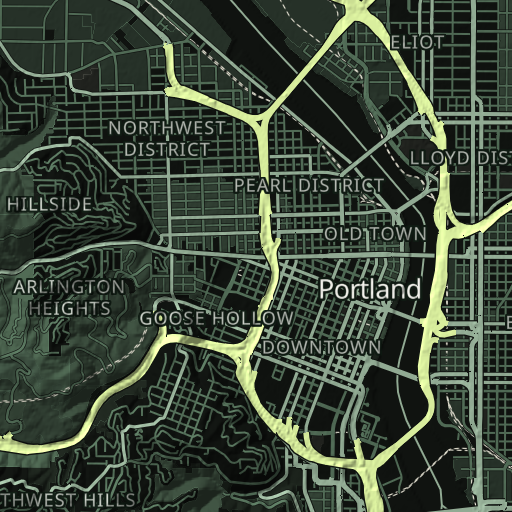
Valhalla shaded relief
Large labels · 512 × 512 PNG
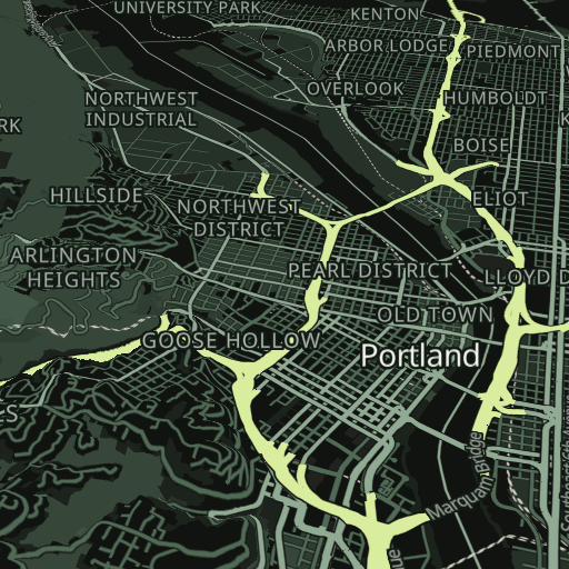
3D terrain
Large labels · 512 × 512 PNG
These native-resolution previews enlarge city, neighborhood, and road labels at the Portland zoom. The shaded and 3D views use the Portland elevation tile installed in Valhalla.
Mapsource style previews
Flat, relief, and 3D at 256 × 256
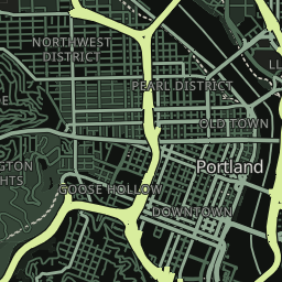
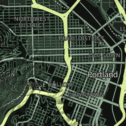
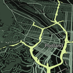
These compact 256 × 256 previews are suited to a provider listing. For larger, readable labels use the 512 × 512 images above. The relief and oblique 3D views sample the Portland Skadi elevation tile installed in Valhalla. For a true XYZ tile at a specific coordinate, use the styled raster tile endpoint above.
Native tile examples
256 × 256 PNGs
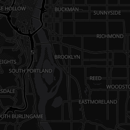
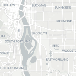
Tile template: https://mapsource.io/api/tiles/{dark|light}/{z}/{x}/{y}.png. Requests require Authorization: Bearer <API key>. The examples show Portland at z12. For current zoom limits and data dates, read the live tile catalog.
Map data © OpenStreetMap contributors. Tiles and schema by OpenMapTiles / OpenFreeMap. Raster cartography by CARTO. Terrain shading derived from Mapzen Terrain Tiles.